
- Subject
- To be confirmed
- Location
- Albania
- Date
- On instrument delivery
- Instrument
- Handheld SLAM LiDAR
Further entries appear here as captures are completed.
 AURA Spatial
Existing buildings rarely match their drawings. We scan what is actually there, to millimetre tolerance, and hand your team a Revit model they can design against without a single return visit to site.


Walls move. Slabs sag. Forty years of undocumented alterations sit between the archive drawing and the building you are standing in. Design against that drawing and you are designing against fiction, and the building will tell you so, on site, at the most expensive possible moment.
Archive drawingMeasured building
A duct that will not fit. A beam nobody drew. Discovered by a contractor with a crew standing idle, priced as a variation, and paid for by you.
Every element fabricated from an inaccurate dimension is either re-cut or thrown away. Waste is not an environmental line item here — it is your margin, in a skip.
Tape measure, photograph, forgotten dimension, drive back. Manual survey does not fail all at once; it fails one missing measurement at a time.
The scanner records dots. A human reads a section and a plan in them. A model comes out. Scroll through four states of the same building: Maison Louis Carré, Alvar Aalto, 1959.
Several million measured points, unfiltered. No interpretation has happened yet. Every point is a real distance from the instrument to a surface.
Someone who knows buildings cuts the cloud and reads it: the slate roof falling with the hill, the wave of Aalto’s hall ceiling, the seven steps down to the living room.
Cut at one metre, the cloud becomes a plan: walls, openings, the hall, the bedroom wing, the stepped lawn. Measured on site, not traced from an archive drawing.
Parametric geometry built against the cloud. Walls that know they are walls, in your template, with your family library.
On the left, what the scanner recorded. On the right, what we hand over. Drag the divider. Nothing moves between them, because nothing was redrawn.

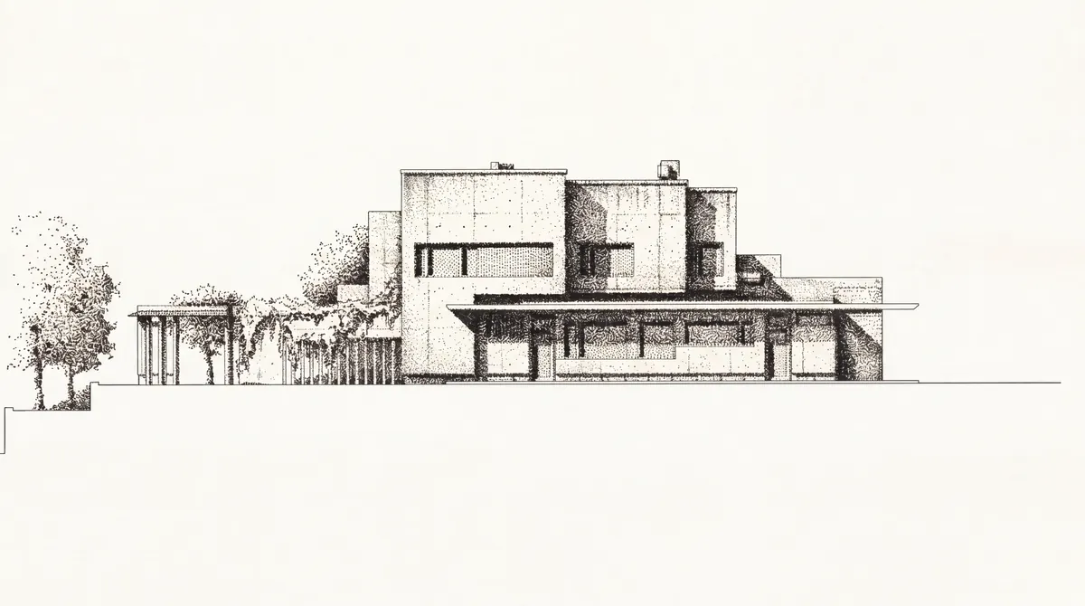
Same site, same viewpoint, same frame. The drawing on the right is extracted from the measurement on the left, not redrawn from it.
Sample data — not a client project
A single operator, one visit, no scaffold and no site shutdown. What used to be a fortnight of measuring is an afternoon of walking.
01 Capture
On site: hours, not weeks
Handheld SLAM LiDAR records the space continuously as the operator walks it. Drone photogrammetry covers roofs and façades that cannot be reached from the ground.
02 Register
Deliverable: E57 · RCP
Scans are registered into one coordinate system, georeferenced, and stripped of noise and passing people. You receive the deviation report, not just a promise.
03 Model
LOD 100 · 200 · 300 · 350
Revit geometry modelled against the cloud to the agreed level of development, using your family library and naming conventions rather than ours.
04 Deliver
RVT · IFC · DWG · PDF
Native and open formats, drawings extracted, and a walkable model in your browser. Nothing is locked to software you do not own.
Agreed before we mobilise, itemised on the quote. No surprises about what a scan includes.
| No. | Deliverable | Format | Notes |
|---|---|---|---|
| 01 | Registered point cloud | E57 · RCP | The unedited measured record of the building, colourised and ready to open in Recap, Cyclone or Rhino. |
| 02 | Revit model | RVT | Native, parametric, built to your template and your family library. Walls, floors, structure, MEP as scoped. |
| 03 | openBIM export | IFC 4 | Software-neutral, so your consultants can work in ArchiCAD, Tekla or Solibri without a conversion argument. |
| 04 | Plans, sections, elevations | DWG · PDF | Extracted from the model, not redrawn. Dimensioned, titled and issued at the scale you asked for. |
| 05 | Visualisation | Enscape · V-Ray | Photoreal stills and walkthroughs off the as-built geometry, for planning submissions or for selling the scheme. |
| 06 | 360° site record | Panorama | A navigable photographic record of the building as found, timestamped. Settles arguments about what was there before. |
Instrument specification and modelling standard we build to. Per-project accuracy is reported on delivery.
Typical, over a closed loop. Reported per project.
Spacing at 5 m range. Decimated on request for lighter files.
Single operator, occupied building, no shutdown required.
From leaving site to registered, cleaned cloud in your hands.
By area and level of development. Fixed on the quote, not estimated.
LOD 200 suits most refurbishment. LOD 350 where fabrication follows.
Or your project grid, if you have one established.
Your raw data stays recoverable. Re-issue at any time.
Capture hardware is only half of it. The value is in what happens between the point cloud and the model, and that is a modelling problem rather than a scanning one.
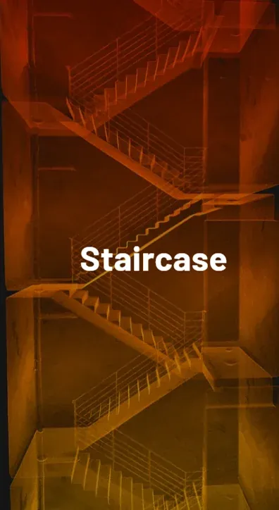
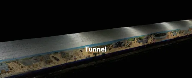
Mobile mapping covers ground the tripod cannot reach: stairwells, plant rooms, corridors, whole floors in one continuous pass.
Grasshopper and Dynamo automate the repetitive part of scan-to-model, which is how a small studio delivers at the pace of a large one.
Approximate area and what you need the model for is enough to start. You will get a fixed price and a delivery date, not a rate card.